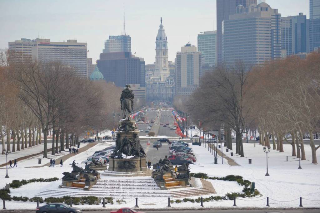

A potential nor’easter is taking shape along the East Coast this week, putting Philadelphia and surrounding areas on alert for a round of unsettled weather. While the developing storm could bring the region its first taste of winter, the latest forecast suggests Philly residents shouldn’t expect a significant snowfall just yet.
According to meteorologists, the storm is expected to move into the Mid-Atlantic and Northeast from Thursday into Friday. Expect widespread rain, gusty winds, and a noticeable drop in temperatures.
However, accumulating snow is currently forecast to stay mostly in higher elevations farther north and west.
Will it snow in Philadelphia?
According to the latest forecasts, Philly, NYC, and D.C., are all expected to see mostly rain rather than snow.
Specifically, the system is expected to develop over the Ohio Valley late Wednesday before moving toward the Northeast by Thursday. A few snowflakes could potentially mix in closer to the coast. However, warmer surface temperatures and a lack of sufficiently cold air make the accumulating snowfall unlikely along the I-95 corridor.
Forecast models have also shifted toward a slightly faster and weaker storm, lowering the chances of snow at lower elevations. Whereas, higher elevations across New England, the interior Northeast, and parts of the Appalachians remain more likely to see accumulating snowfall.
What to expect across the Philly region
For Philadelphia and South Jersey, forecasters are monitoring Thursday night through Friday night for periods of heavy rain and gusty winds. Coastal communities in Atlantic and Cape May counties could also experience tidal flooding.
Meteorologists have also pointed out there is still some uncertainty surrounding the storm’s exact track. A secondary area of low pressure developing farther south could bring stronger coastal wind gusts a brief changeover from rain to snow as the system moves away.
Much colder temperatures arrive Friday
Even without snow, winter-like conditions are on the way. Temperatures are expected to tumble behind the system, with highs in the 30s and 40s and overnight lows dipping into the 20s across parts of the Northeast.
By Saturday, the storm should move toward Canada, although lingering snow showers could develop farther north and west.
For now, Philly’s first accumulating snowfall remains uncertain. Residents should prepare for a wet, windy, and much colder end to the week.